Do All the Roads Lead to Rome?
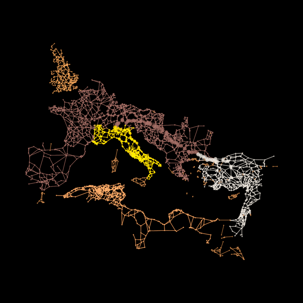
Network science is a very powerful yet underrepresented tool in geospatial analytics. In this example, connecting to transporta...
Identifying Topical Hot Spots in Urban Areas
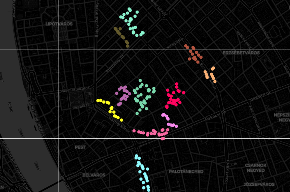
Here, I present a robust algorithm relying on POI data and machine learning clustering to conduct urban hot-spot analysis autom...
Urban Accessibility — How to Reach Defibrillators on Time
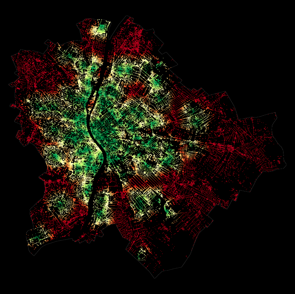
Accessibility is one of the key concepts in urban planning today. In this work, we show how open-source data on the location of...

Exploring Large-scale Raster Population Data
Population data and maps are indispensable assets in urban development and location intelligence. They facilitate strategic dec...
Assessing Urban Green Equality Using Vienna’s Open Data Portal
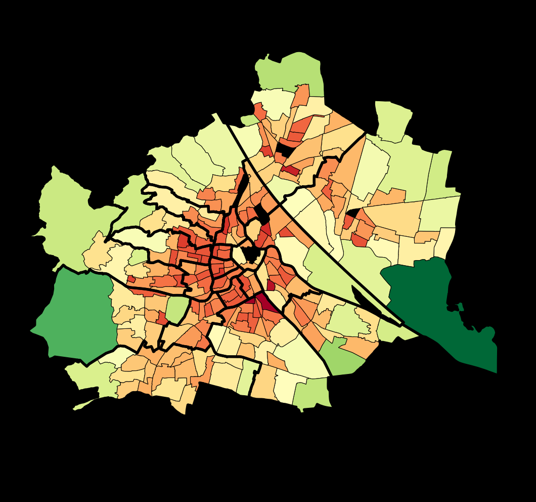
Despite their many advantages, accessing nature and green spaces is getting increasingly difficult in highly urbanized areas. S...